DÉCOUVRIR
Ruta del río San Martiño
- Image


Lugar de Vilar, Santa María de Armenteira
36192 Meis Pontevedra
Spain
Teléfono
En savoir plus sur

Meis
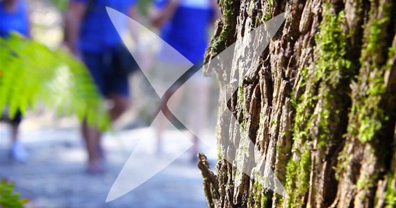
The San Martiño river route starts in the hills of the parish of San Salvador de Meis (As Piñeiras) - which is its highest point - close to the border of the municipality of Poio and the hamlet of A Escusa. The route runs through Salcedas, A Medoña and A Igrexa, all in the parish of San Salvador de Meis and through Os Cruceiros and A Gándara, in San Martiño de Meis and ends at the dual carriageway roundabout at O Salnes - the Armenteira exit - at the confluence of the San Martiño and Armenteira rivers
Ville la plus proche:
Vilagarcía de Arousa
Notez cette ressource
Typologie de l'itinéraire
Linéaire
La durée
45 minutos
Longueur totale (km)
5380 metros
Cartographie I.G.N.
Cartografía I.G.N (1:25000): Nº 185-I Meaño
Intérêt paysager des environs
Modéré
Description de l'environnement
Rural
Difficulté
Sous
Itinéraire (M.I.D.E.)
1
Déplacement (M.I.D.E.)
2
Effort (M.I.D.E.)
2
Moyen (M.I.D.E.)
1
État de conservation
Bon
Organisme responsable
Concello de Meis