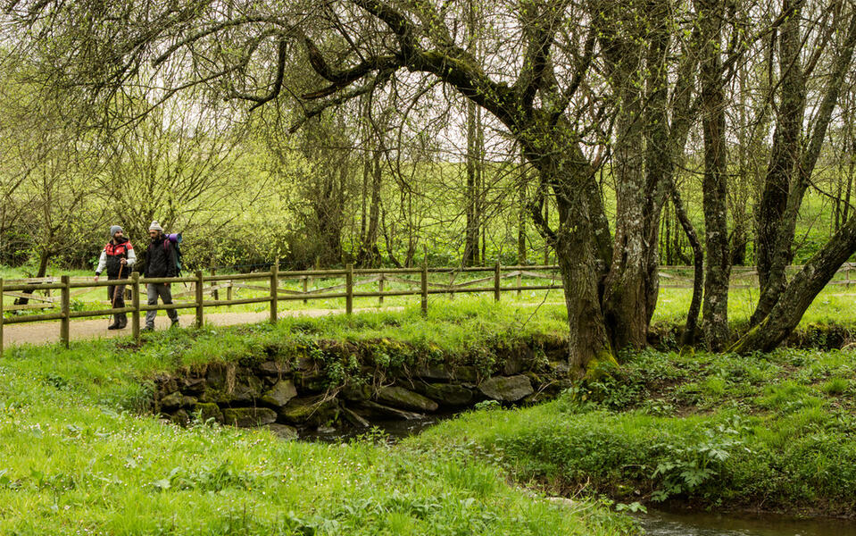
Camino de invierno a Santiago de Compostela
Nearest city:
Vilagarcía de Arousa
Pontevedra
Spain
Teléfono
Camino de invierno (‘Winter Route’) is an alternative path in Galicia that passes through the four provinces. Already used by the Romans, it enters the region from the central plateau and follows the lowlands along the Sil River. Pilgrims who wanted to avoid the hard climb up the snowy hills of O Cebreiro opted for this trail, particularly in the winter. It starts in Ponferrada (León) and runs through Ribeira Sacra and the region of Deza in Pontevedra, where it links with the Southeast Route to Santiago.
Rate this resource
Start of the journey
Las Médulas
End of the journey
Santiago de Compostela
Duration
8 días a pie o 5 días en bicicleta
Total length of the Road (km)
262,7 km
Recommended number of stages
10
Average length per stage
30 km
Complementary trace
En la etapa 9 se une al Camino Sanabrés o Vía de la Plata
Landscape interest of the surroundings
Elevated
Description of the environment
Rural
Points of interest
Rodeiro
Puente medieval de Pedroso
Carballeira das Casianas
A Laxe
Lalín
Puente de Taboada
Santuario de O Corpiño
Pazo de Oca
Puente medieval de Pedroso
Carballeira das Casianas
A Laxe
Lalín
Puente de Taboada
Santuario de O Corpiño
Pazo de Oca
Signage
Adequate
Difficulty
High
Itinerary (M.I.D.E.)
4
Displacement (M.I.D.E.)
3
Effort (M.I.D.E.)
5
Medium (M.I.D.E.)
4
State of conservation
Good
Recommended material
Lleva calzado cómodo y elástico (preferiblemente de suela dura), sombrero y bastón. La ropa debe adaptarse a la época del año.


